How to plan a road trip in Mexico?
January 15th, 2015Logistics not only applies to the movement of large volumes of merchandise, making a trip also requires good planning to get the most out of it.
For pleasure or work, the road transfer must be organized in advance to prevent and avoid situations that complicate the experience.
With the technology of today's phones, it is possible to have a better organized trip, as there are endless applications that can help you know distances, estimated time of arrival and even find hotels, but today we will limit ourselves to those that will help you to travel the Mexican highways.
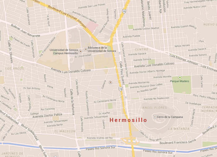
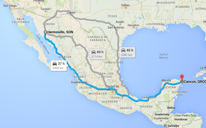
One of the most popular apps is Google Maps, which gives you the different routes that take you to the same destination, with different arrival times so that you can choose the most convenient according to your goals. In addition, some of its advantages are that it has the streets of almost all the cities in the world and the most iconic places marked in case you find yourself in an unknown place, do not get lost.
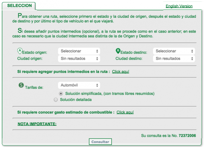
For a closer estimate of what your trip may last and cost, the Ministry of Communications and Transportation launched trace your route, an application and website where you can enter origin, destination and offers you a detailed information with the states, cities and highways you will pass through during your journey, location of toll booths and their cost. On its website you can calculate gasoline consumption according to the type of vehicle and it also has an English version.
The combination of both tools will avoid unforeseen events so that you can enjoy the trip, the road and Mexican landscapes more.


